18-Dec-2024 03:42 PM
1490
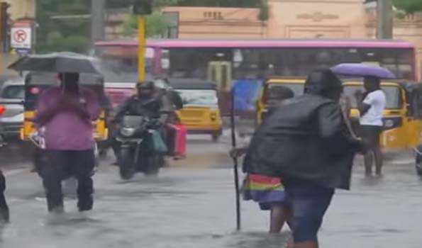
Chennai, Dec 18 (Reporter) The Low Pressure area over the bay of bengal has become more
marked as a Well Marked Low Pressure and is heading towards North Tamil Nadu and
South Andhra Pradesh coasts, promising heavy rain in Chennai and its neighbouring
districts.
Met office on Wednesday said Yesterday’s Low Pressure Area over Southwest Bay of
Bengal became more marked and lay as a Well Marked Low Pressure Area at 0830 hrs
of today, over the same region.
The associated upper air cyclonic circulation extends up to mid tropospheric levels.
It is likely to move northwestwards towards North Tamil Nadu and South Andhra Pradesh
coast during the next 24 hours.
Thereafter, it is likely to move nearly northwards along Andhra Pradesh coast during the
subsequent 24 hours.
Under its influence, light to moderate rainfall is likely at a few and many places over
North Coastal Tamil Nadu and Puducherry till tomorrow.
Heavy rain is likely to occur at isolated places over Chennai, Tiruvallur, and Chengalpattu
districts, where an yellow alert was issued.
Surface winds, with strong and gusty at times, with speed reaching 35-45 kmph is likely
over North coastal areas of Tamil Nadu and Puducherry.
Fishermen were advised not to venture into the sea for the next three days as squally
weather with wind speed reaching 35 kmph to 45 kmph and gusting to 55 kmph is
likely to prevail along and off Tamil Nadu coast, adjoining Comorin area and Gulf of
Mannar.
On December 20, squally weather with wind speed reaching 35 kmph to 45 kmph
and gusting to 55 kmph is likely to prevail along and off North Tamil Nadu coast...////...